Come Hike Raad ny Foillan With Me! The Isle of Man awaits!

Hello and welcome to my LIKETHEHIKE blog. I’m PJ and I write about the hikes I take, giving you insights, photos, commentary, tips, and tools so you can enjoy hiking and embrace the experience.

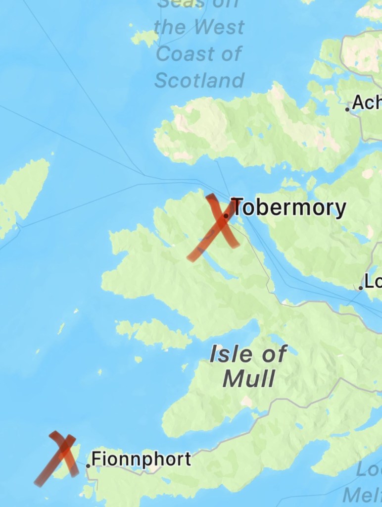
Today I’m on the Isle of Man – woohoo!!!!! A self-governing Crown dependency smack in the middle of the Irish Sea between England and Ireland. Best known for the TT motorcycle race, the Isle of Man is home to 65,000 islanders descended from both Celtic and Viking invaders. The Isle of Man is part of our UK holiday – and I couldn’t wait to hike on it.

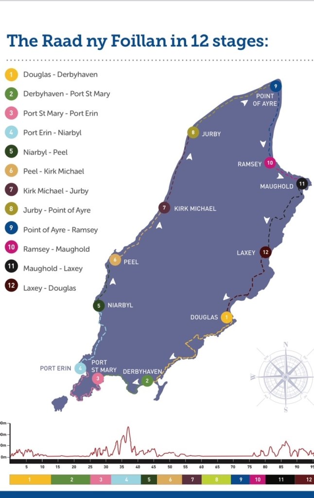
The Raad ny Foillan is 160km of coastal walking trail that circumnavigates the island and translates loosely as ‘The Way of the Gull”. Visitors and locals have been walking and talking about this trail for hundreds of years, so it makes sense for yours truly to investigate.

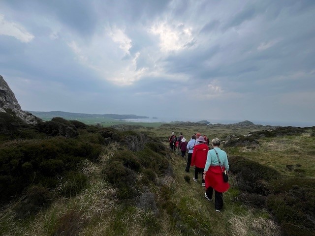
Our cruise excursion team arranged for us to walk a section of the Raad ny Foillan, taking in the clifftops of Port St Mary, cross the peninsula to Cregneash, and then down to Port Erin, about 7-8km all up.

About 20 hardy souls signed up to walk the section, led by a local hiking guide, Chris Callow from Island Heritage Tours. If you’re planning a trip to the Isle of Man and want a great hiking experience, I can thoroughly recommend him. He also does ancestral research and trips for Antipodeans looking for family heritage on the Isle – if you think you have ancestors from this neck of the woods, Chris is your bloke.

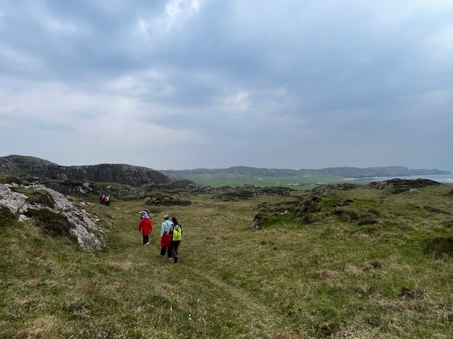
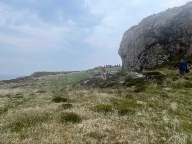
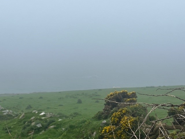
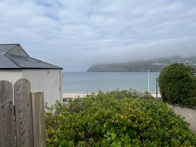
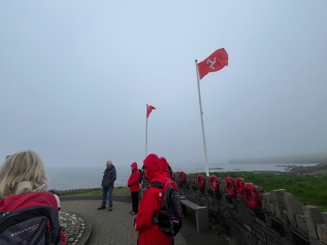
We started on the cliffs above Port St Mary beach. I was hoping for a clear day, but the sea mist was swirling, and although stunning, it meant that views might be out of the question. The beauty of a guide is that not only do you hike, but you also get a heaping of local stories and history – all very fascinating. Our first stop was a memorial for ships that took part in Operation Dynamo, the evacuation of Dunkirk in 1940. Three local ships assisting with evacuation were destroyed, with significant loss of life. It’s only fitting that the memorial sits on a clifftop overlooking the sea…

Handy hint – Manx is the word used to describe people or things that belong to the Isle of Man. Also, I believe, a cat without a tail which comes from the Isle. Go figure! We kept moving and wound our way towards the cliffs overlooking Perwick Bay facing due east, which I’m sure would show a spectacular sunrise – on a clear morning.

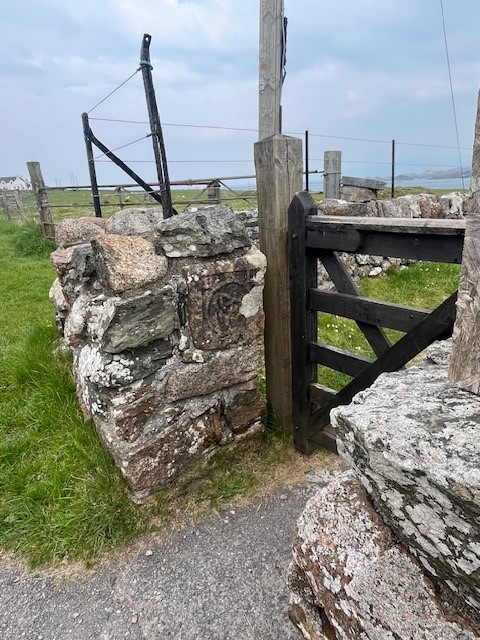
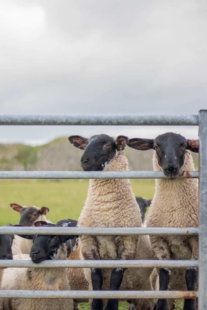
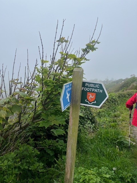
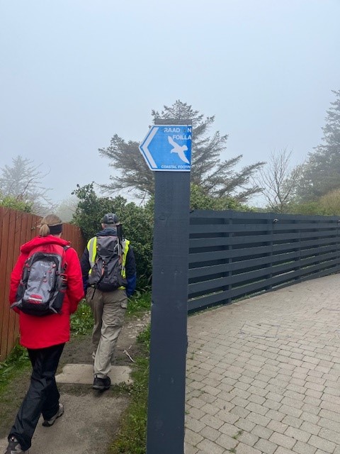
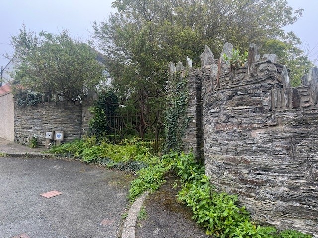
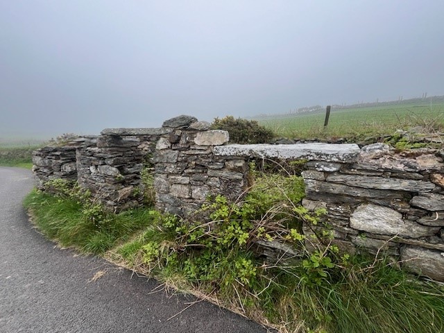
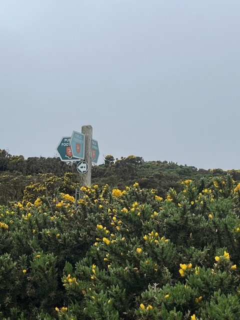
The trail is very well marked, and as I discovered in Kent, trails are supported and encouraged by the government, councils, and even private landowners. A hiker’s dream. The clifftop houses quickly made way for green open fields, dotted with woolly sheep and lambs. The stonework and foliage were just lovely, and kinda made up for the fact that the sea mist seemed to be getting heavier, not lighter!

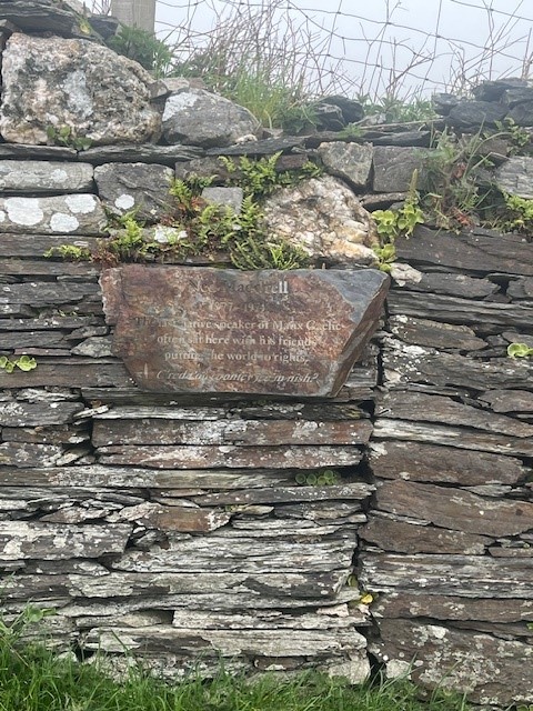
Our next fascinating fact was around the 2.4km mark where a sign and a simple wooden bench recognised Ned Maddrell, the last native Manx speaker on the island. Local schools are leading the charge to ensure that the next generation of Islanders retain this important cultural artifact, which is similar to Irish, Scottish, and Welsh Gaelic (all of which are waaaaay out of my remit). The locals are very proud of their language, culture, and independence, totally understandable.

Not too far along the trail, we came to another reminder of the impact of war on the island. On a misty day probably very similar to this one, a US Flying Fortress crashed into the side of the hill, killing all on board. I wasn’t surprised, given the thickness of the mist we were hiking through. Still, a sobering reminder that the weather and the terrain will always remain dominant over us mere humans.

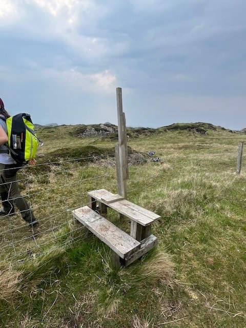
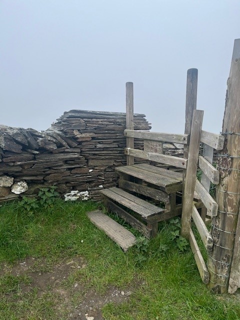
We kept climbing up and up and up. There were some quite steep sections, we traversed through fields, gorse patches, over stiles, and through gates. Most of the area looked like it was being actively farmed. so it was important we followed the hiker rule and leave gates as you find them.

The highest point in the hike was about 4km in, a pretty amazing destination called Cregneash, a historical Manx village lovingly restored and running as an example of a 19th-century crofting community. Surprisingly, people still live here and little “private house” signs remind you not to barge on in. Good place for a quick coffee stop 🙂 Thankfully it was a short stop as the mist hadn’t cleared and it was quite chilly! Hiking meant moving and moving was warm.

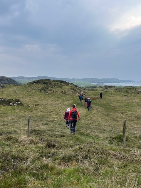
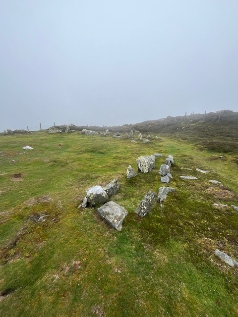
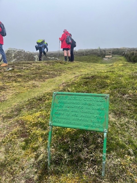
Our next waypoint was at 5.5km and on the crest of the peninsula. Meayll (Mull) Circle is a bronze age burial site that is evidence of island occupation from Neolithic to Medieval times. It’s a chambered cairn with 12 burial chambers in a 5.5m circle. It really was an honour and a privilege to hike through a countryside that has markers dating back thousands of years….and be able to walk the ground, touch the stones, and feel the history.

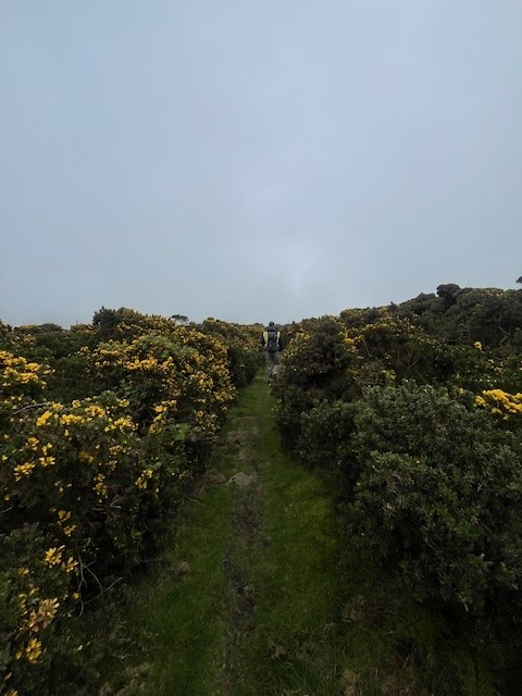
A lot of the landscape on the crest was gorse-laden, which was challenging to walk through. The tracks were wet and mucky underfoot, but thankfully I took my Merrell waterproof hiking shoes for just such an occasion. I had a decent backpack and took my wet weather gear. I still had to pick off quite a few gorse prickles at the end of the hike.

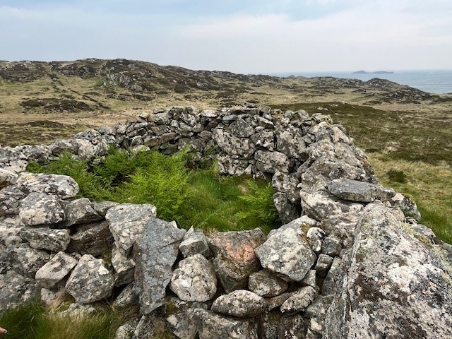
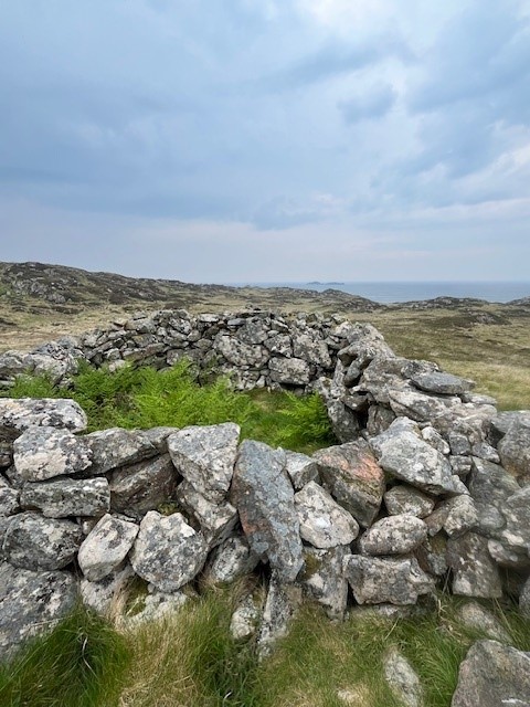
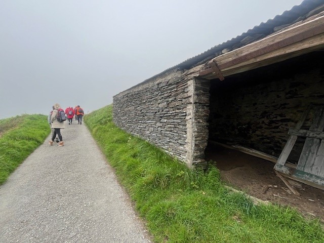
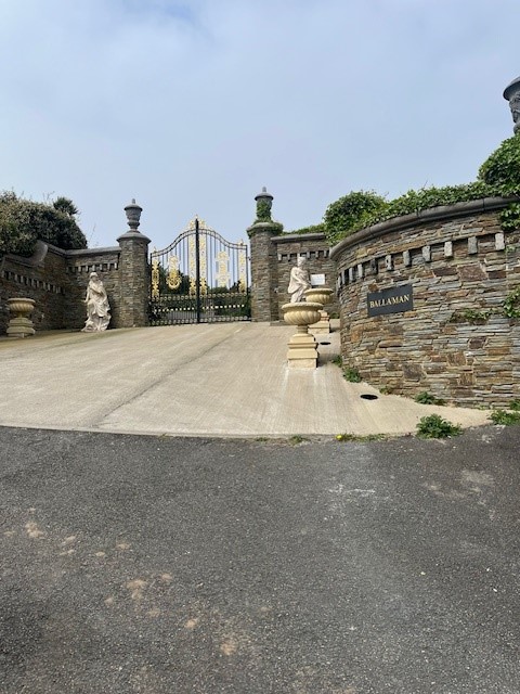
We were now heading downhill towards Port Erin. We traversed trails, a couple of country lanes and passed some fascinating stone buildings, one was going to be restored, and one that should probably be knocked down (yuk! no accounting for bad taste)

Thankfully on the leeward side of the island, the sea mist had lifted a bit, and we got a view down to the port and beyond. Heading down steep hills is usually a bit more challenging on the knees, but this trail was manageable and with the end in sight, the pace picked up.

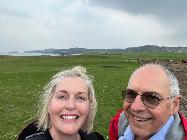
Our hike came to an end at the beach in Port Erin. We clocked about 7.5km – it was a fantastic hike. It had lots of uphill sections which I imagine on a clear day would give you the most incredible views. Despite limited views, we still had a great morning, and I managed to coax Mr PJ out for a hike – win! I haven’t converted him yet, but give me time… 😉

If the Isle of Man sounds like you, and you want to pack your hiking boots, then put Raad ny Foillan on your bucket list and get cracking!

See you out on the Scottish and Icelandic trails

PJ 🙂

RATING THE RYOKANS – PART TWO

Hello and welcome to my LIKETHEHIKE blog.

I’m PJ and I write about the hikes I take, giving you insights, photos, commentary, tips and tools so you can enjoy hiking and embrace the experience.

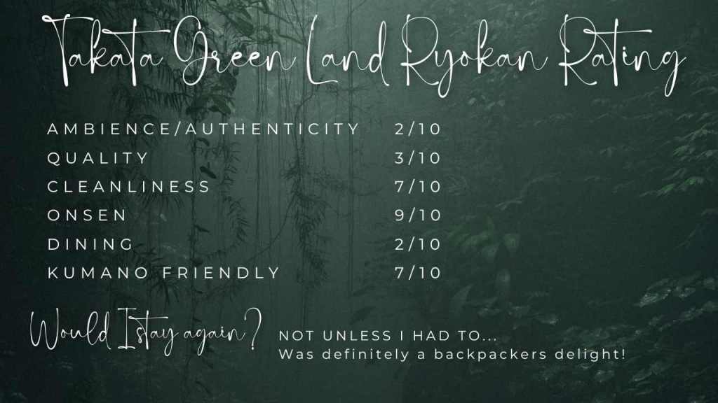
We’re back for the second instalment of “Rating the Ryokans” – with my very mathematical (!) approach that measures ambience, quality, cleanliness, onsen, dining and whether the establishment is Kumano and hiker friendly. In my last blog, TB and I had just departed the fantastic Manseiro in Kii-Katsuura which had a lovely onsen and a truly magical evening dining extravaganza.

TAKATA GREEN LAND (KUMOTORI ONSEN) – SORTA RYOKAN EXPERIENCE…

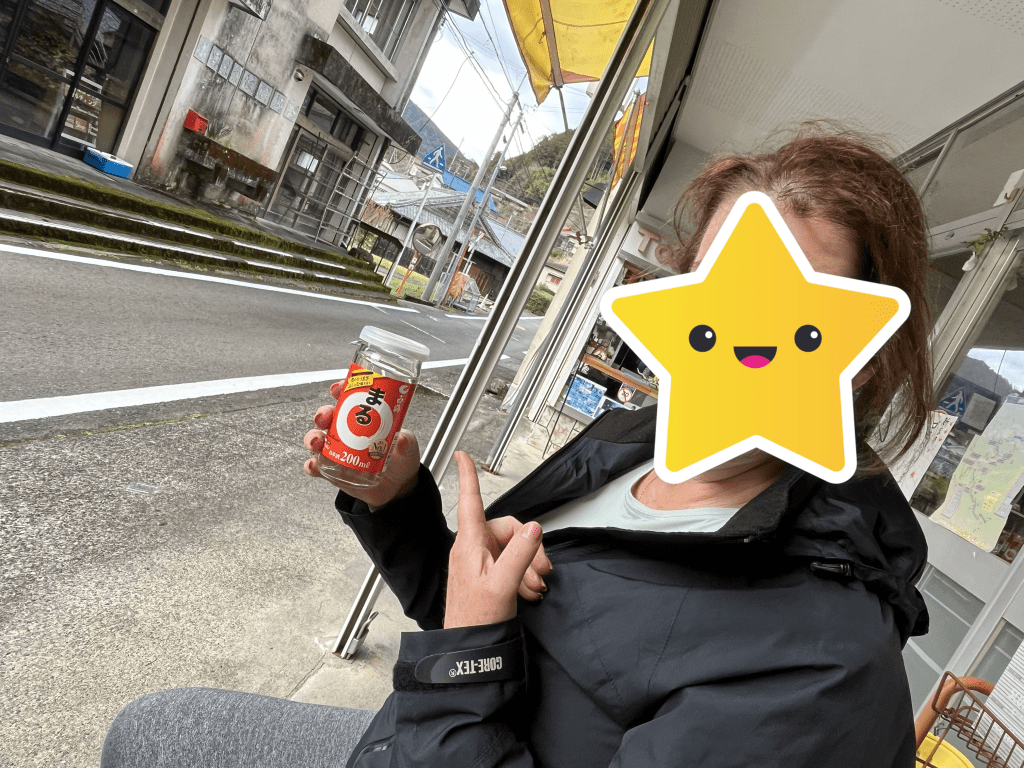
Our next stop was after our longest and most challenging day on Kumano. We did over 20km on some serious trails, finishing at a little village called Koguchi. We found a dinky corner store where we devoured drinks and snacks while waiting for our hotel shuttle.

We arrived at Takata Green Land – and were perplexed. It looked like a sports complex, or perhaps a school camp destination. There were a number of interconnected buildings and the reception area gave off a very backpacker vibe, complete with worn industrial carpet, vinyl seating, pingpong table and 27,000 vending machines.

Happily our suitcases were waiting for us at reception. Unhappily we had a second floor tatami room and no lift. I almost killed me lifting cases up two flights of stairs after a 20km hike….

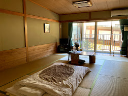
The room was very average. Clean, but sadly, much worse for wear with stained, damaged tatami matting, dings and dents in the walls. Such a shame as I suspect that it must have been quite lovely at one point in time. We had shared toilet and sink facilities right outside our room, and as it was very quiet, we pretty much had those to ourselves.

Example of room

The onsen, however, was first rate. Takata Green Land had an outside onsen which we could access via a private walkway. I am not the most graceful gazelle as my family will confirm, so add the complexity of full nudity, cold misty weather, a wet wooden walkway , and speed – and you can imagine the rest. I skidded into the outside hot pool very disgracefully but to the great amusement of my sister and the other onsen users, who were far too polite to show their mirth.

Unfortunately the onsen experience was the singular highlight of our stay. Post onsen we had high hopes for our evening meal. We were ushered into what looked like a school dining hall, which was doubling as a storage facility. Along two sides of the room were an array of plastic storage containers and boxes stacked ceiling high, and stored against wall was an outdoor canteen arrangement. We were two of the three guests dining that evening, three lonely place settings on a table about 20m long.

The food was fair, with a number of courses including salad, rice, miso, fish and a shabushabu with vegetables. I have to admit, we gave up before dessert and fled to our room.

TB decided that we were staying at the local Hi-De-Hic camp off season and I reckon she was right.

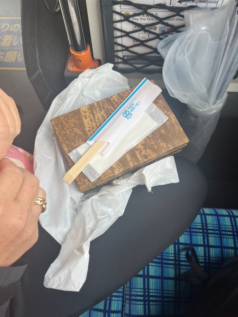
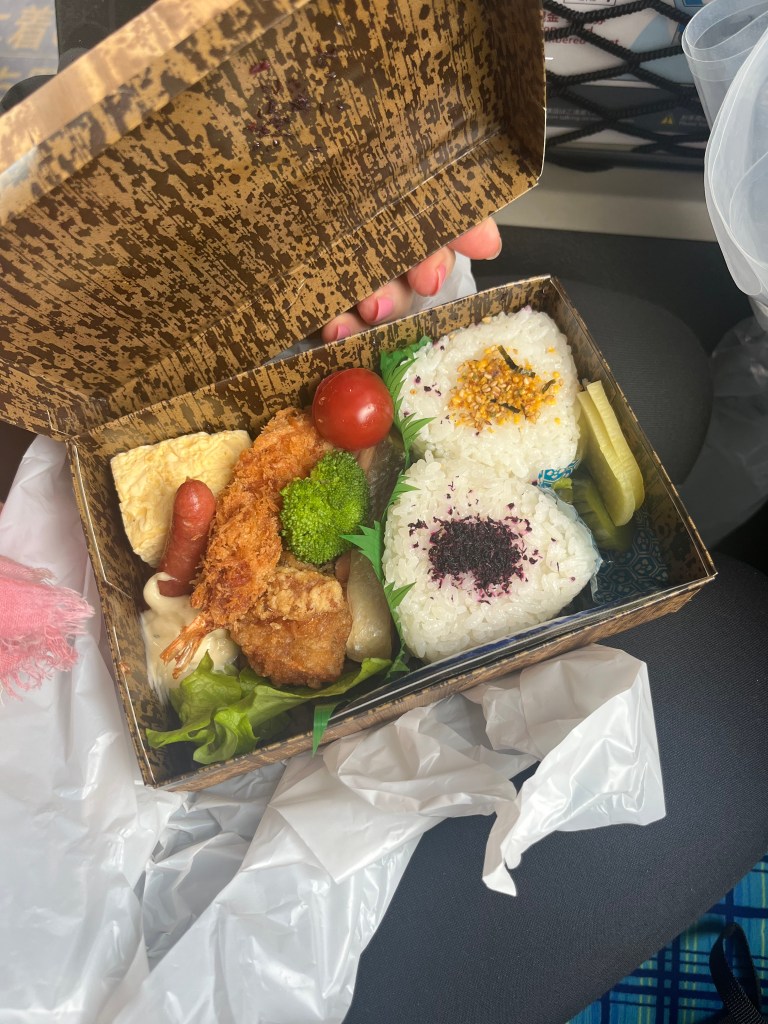
We departed early the next morning to get a bus connection to Hongu and then onto other hiking adventures. We were given a very substantial bento box, which was nice for lunch, well, more like a snack on the bus 🙂

HOTEL SUBARU – ROYKAN/HOT SPRINGS EXPERIENCE

After our Hi-De-Hi experience at Takata Green Land, I hit up Google to see what awaited us at Hotel Subaru. It looked OK – thank goodness.

Our instructions were to finish the hike, take the local bus, alight at the relevant stop and then walk down the road for 1.4km. Righto. There was a bit of excitement as the last half of the walk to the hotel was through a long road tunnel! We scurried through on a narrow pedestrian platform, and I didn’t realise how noisy a car tunnel was – deafening!

As we exited the tunnel – there was Hotel Subaru. It unfolded in front of us with a gigantic outdoor sound shell and fields to the right, and a sweeping driveway which led to the reception area.

Can I say – BEST WELCOME EVER!!!!!!

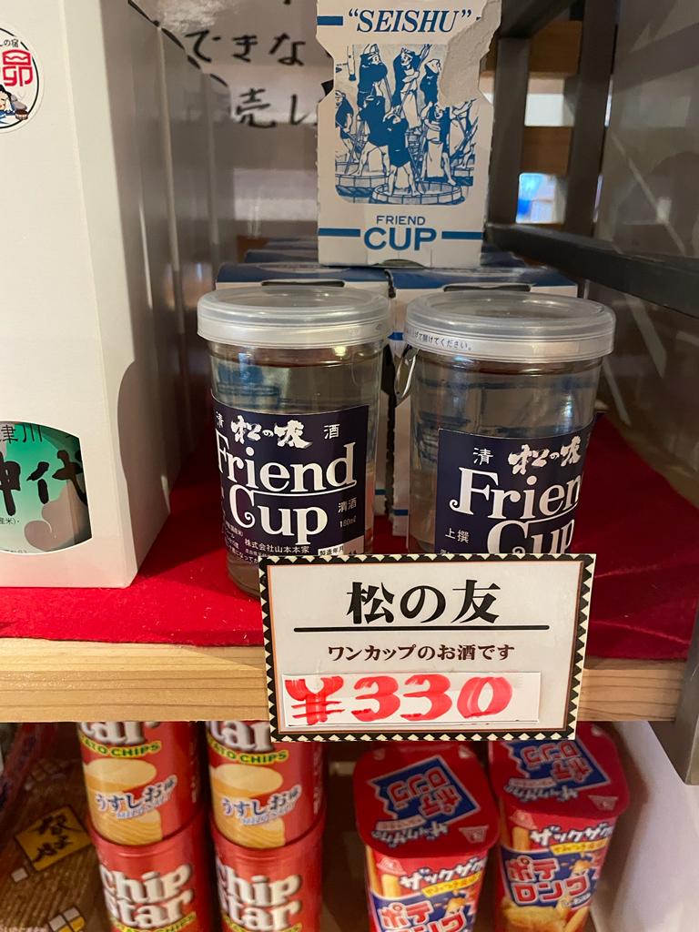
Omotenashi was in full swing at Hotel Subaru. The front desk was attentive and very helpful. The hotel lobby was immaculate and had a very well stocked (and modestly priced) convenience store where we could purchase some sake ‘friend cups’.

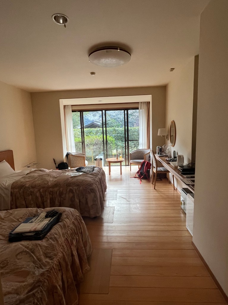
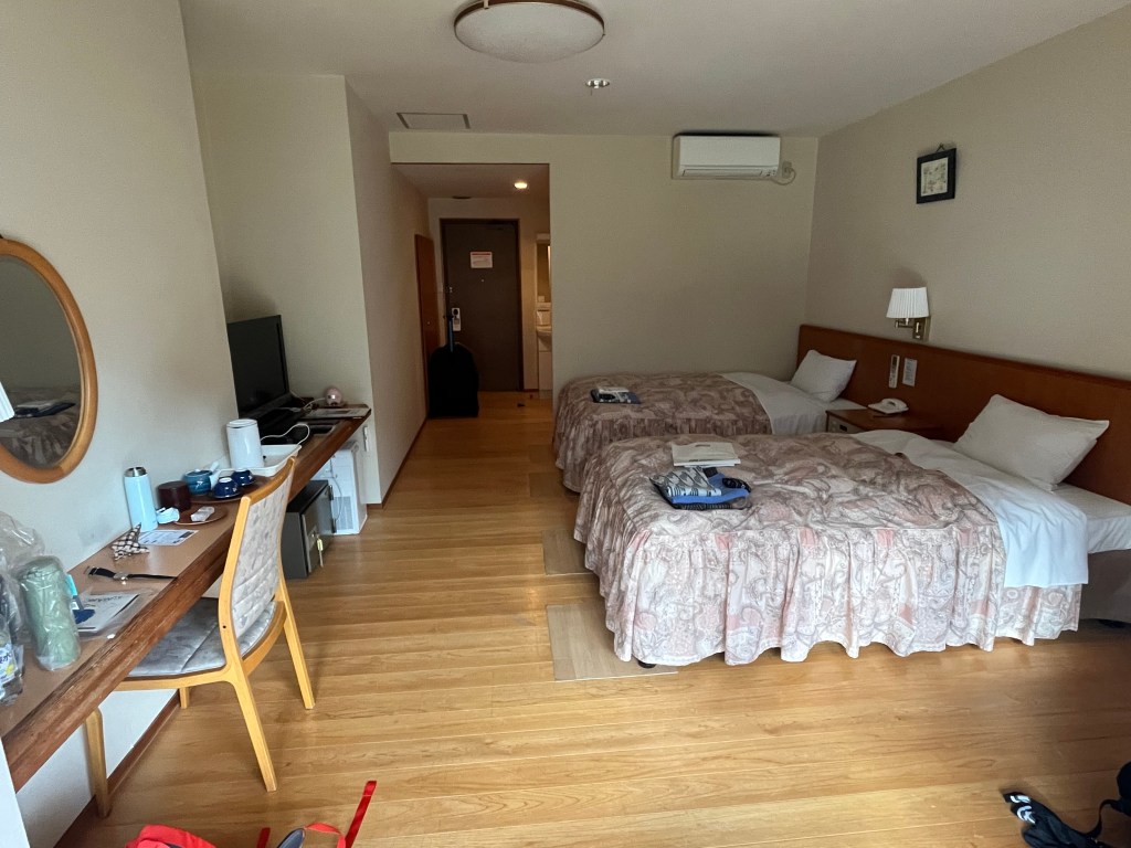
We had been assigned our only western room for our whole Kumano experience. The staff were very insistent on showing us every feature of the room itself, which took some time – mostly via mime as our Japanese, I’m embarrassed to say, was limited to yes, no, hello, goodbye and thank you! But we had a very enthusiastic delivery of our Japanese phrases…

Our room was very clean and tidy – AND – we had a sink and a loo – happy days!

It was, however, frozen in 1989. Complete with bed ruffles, English tea sets and matching curtains. Which provoked a fit of the giggles from TB as the earnest Assistant Manager was pointing out the room features….endlessly. I think the friend cups had a bit to do with it.

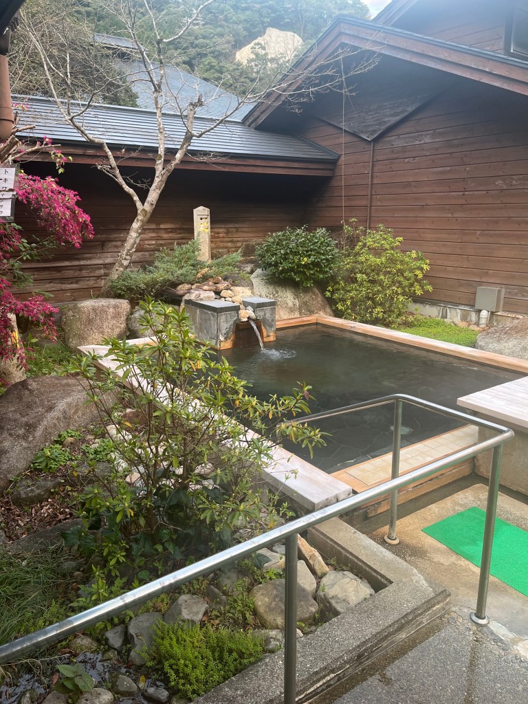
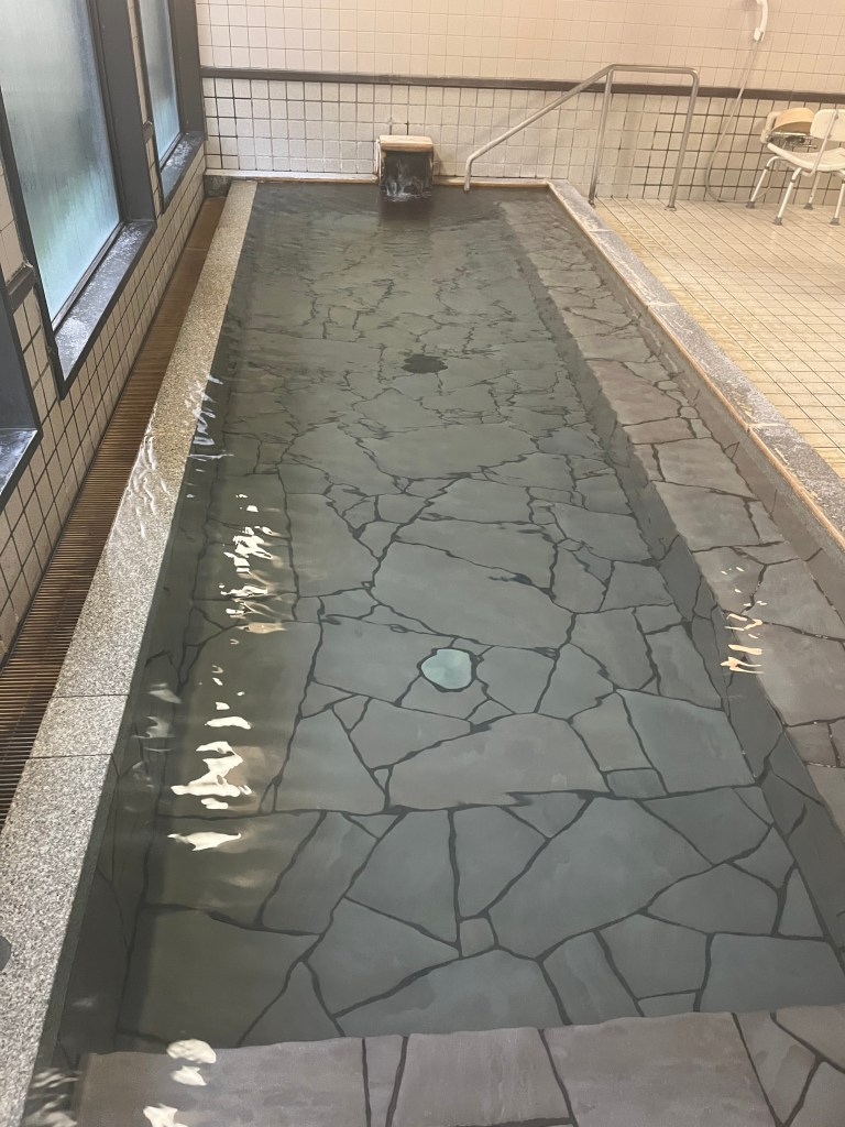
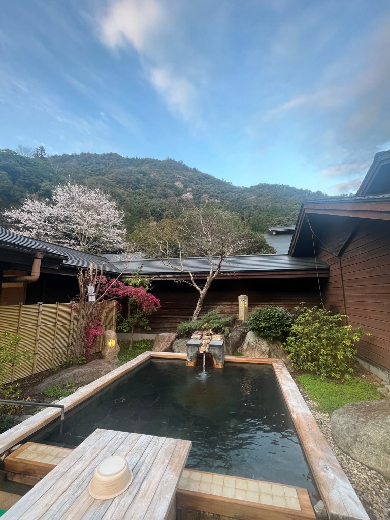
Hotel Subaru is renowned for its onsen, and wowser – hello fantastic onsen! It was a remarkable setup, indoor and out. And again, we pretty much had it to ourselves and by now TB and I regarded ourselves as onsen aficionados! Off came the hiking gear, out came the wash bag and the onsen basket and pfffft – who needs a modesty towel?!

The outside onsen was tranquil, and soothing, and we had the place to ourselves (which meant I could sneak some photos!) We emerged squeaky clean and very relaxed.

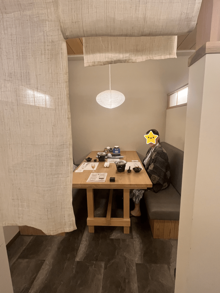
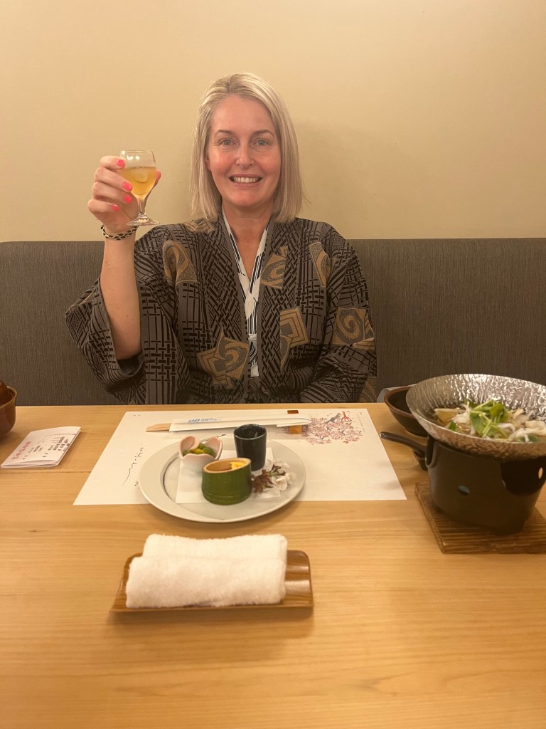
This is where we both now did a happy dance. You know dinner is going to be great when you are shown to your own little dining enclave, complete with privacy curtain and a table set for a king (actually, two majestic queens).

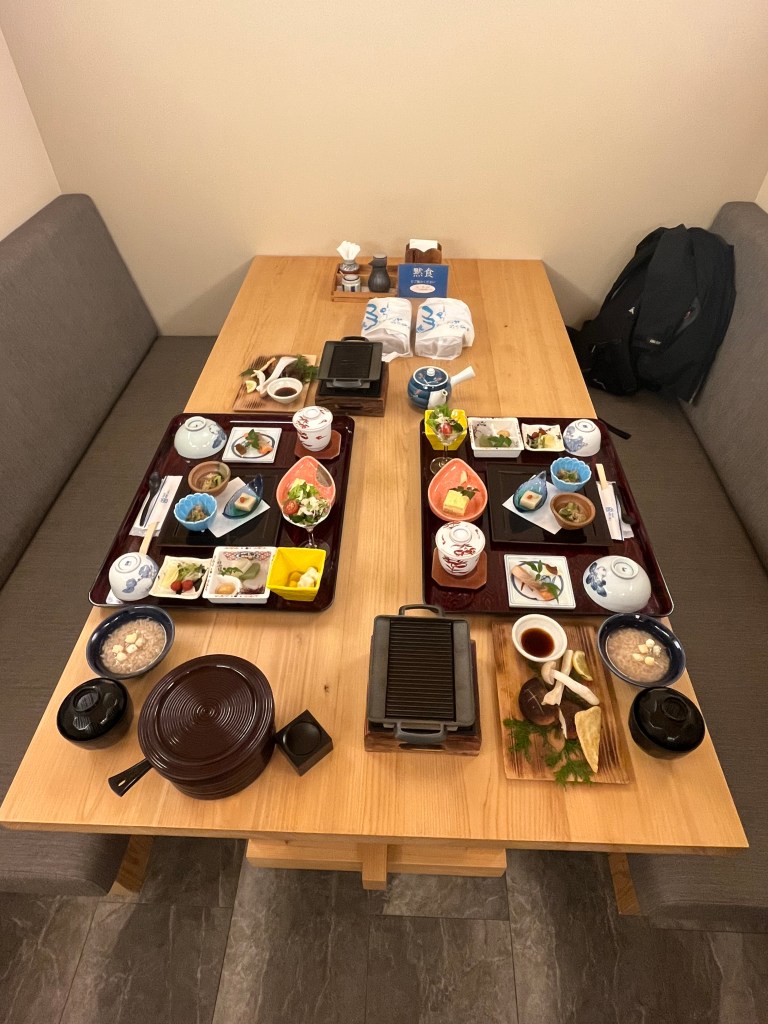
We were treated to some incredible dishes including a whole cooked fish, a shabushabu which was a meal in itself and some beautiful sake. The atmosphere really made it a treat and the attendants were impeccable in their service and attention to detail.

I can see why omotenashi is such a part of the overall Japanese hospitality experience. I felt like visiting royalty, but in a way that showed immense respect to all parties. Well done Hotel Subaru.

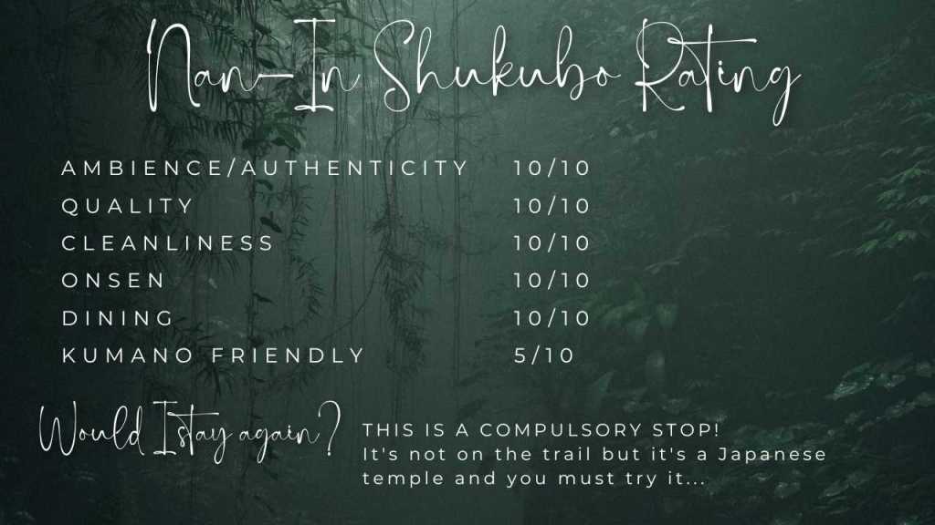
NAN-IN TEMPLE – SHUKUBO EXPERIENCE

Our final destination before returning to Tokyo wasn’t on the Kumano trail, but falls within the prefecture of Wakayama, the spiritual centre of Kumano. Koyasan (Mount Koya) is the mountain of temples, comprised of 117 Buddhist temples founded over 1,200 years ago. Located high in the forest covered mountains, it won’t be a spoiler alert for me to say this was one of the most magical and spiritually affirming destinations I’ve ever had the privilege of going to.

Please put Koyasan on your list when hiking Kumano, you won’t be disappointed. And you will certainly get your walking distances in. TB and I walked 10km on our first day in Koyasan – so much to see!

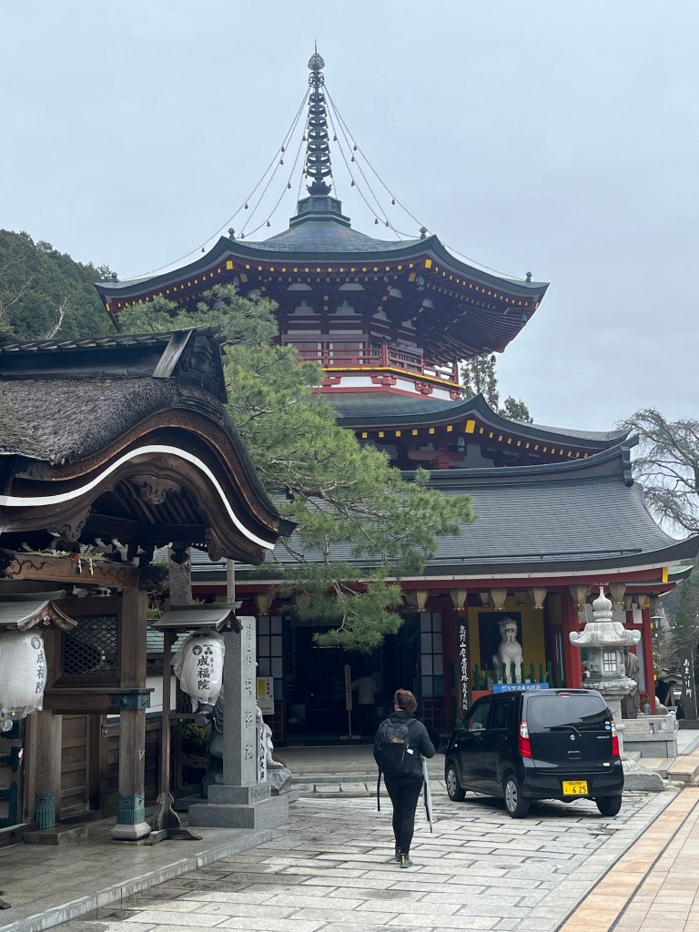
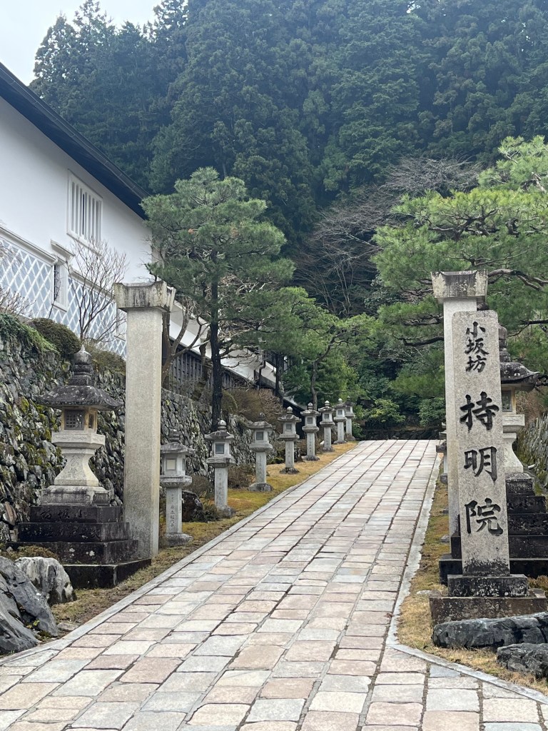
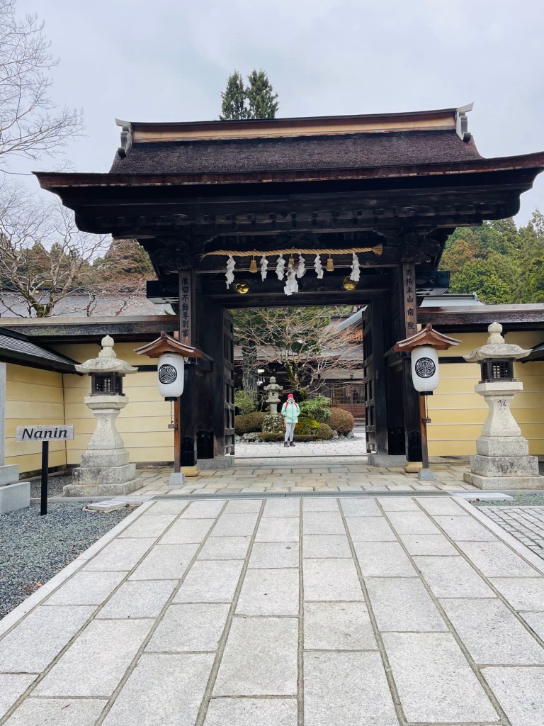
Nan-In is one of the many temples which has been partially modified to allow for overnight experiences. They offer a simple, traditional glimpse into the Buddhist life and rituals. We were very impressed with the entrance to Nan-In, which was rather ornate to honour the gods. The temple is to the left, and the accommodation on the right of the compound.

We were greeted (as we were used to now) with outstanding omotenashi. Our boots had little homes to live in outside the front door and our raincoats and packs were dried and delivered to our room. Koyasan is quite high, and it was about 6 degrees and misty rain when we arrived…brrrrrrr.

We were looked after by a young monk who spoke English, he was very patient and helpful. He seemed to be on call 24/7 for guests as whenever we popped our heads into the office door, the monks waved us out and the young monk appeared soon after. That’s omotenashi!

We were shown to our room, past the communal sinks and toilet facilities. Everything was immaculate and I am not exaggerating when I say you could have eaten off the floor. The attention to detail was incredible and could be seen in every nook and cranny as we walked through the building.

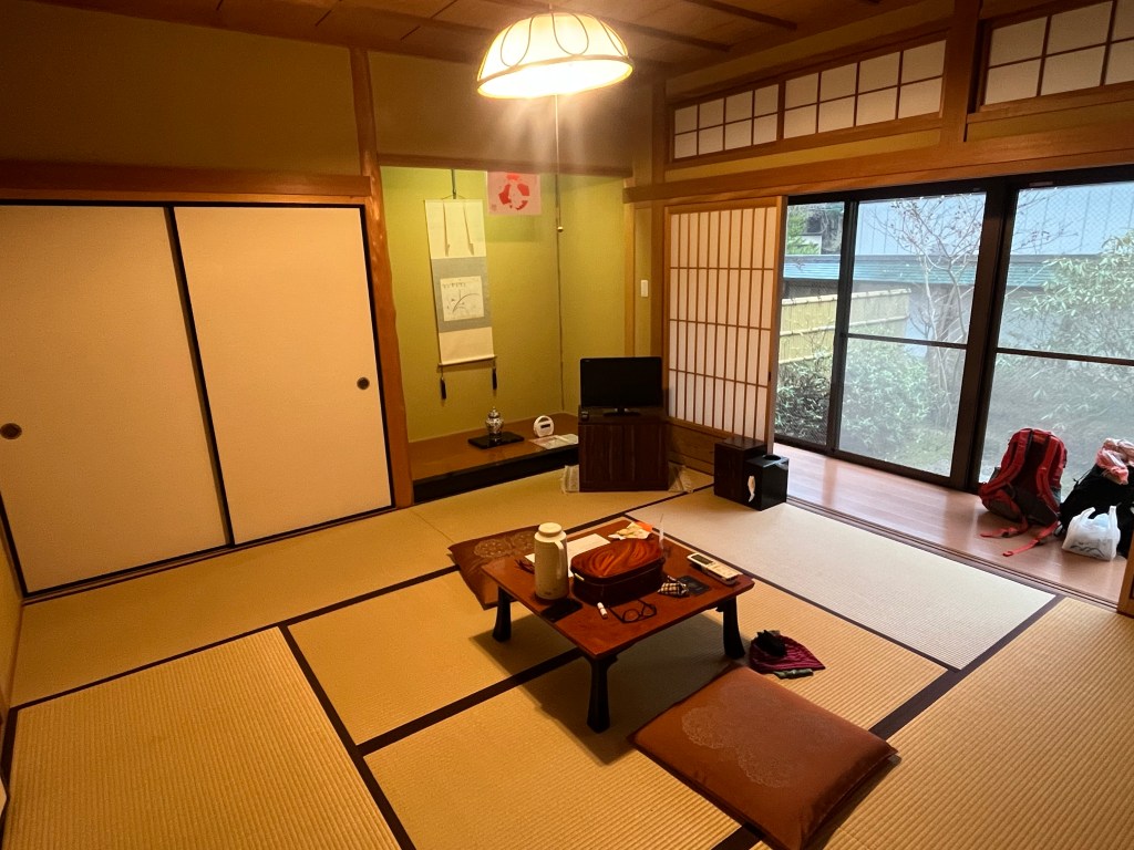
Our room was superb and had a lovely courtyard view. It consisted of an entrance space where suitcases lived, and then the main tatami space, with a sunroom out to the courtyard. We were the only guests in the wing…there’s something to be said for travelling in shoulder season… 😉

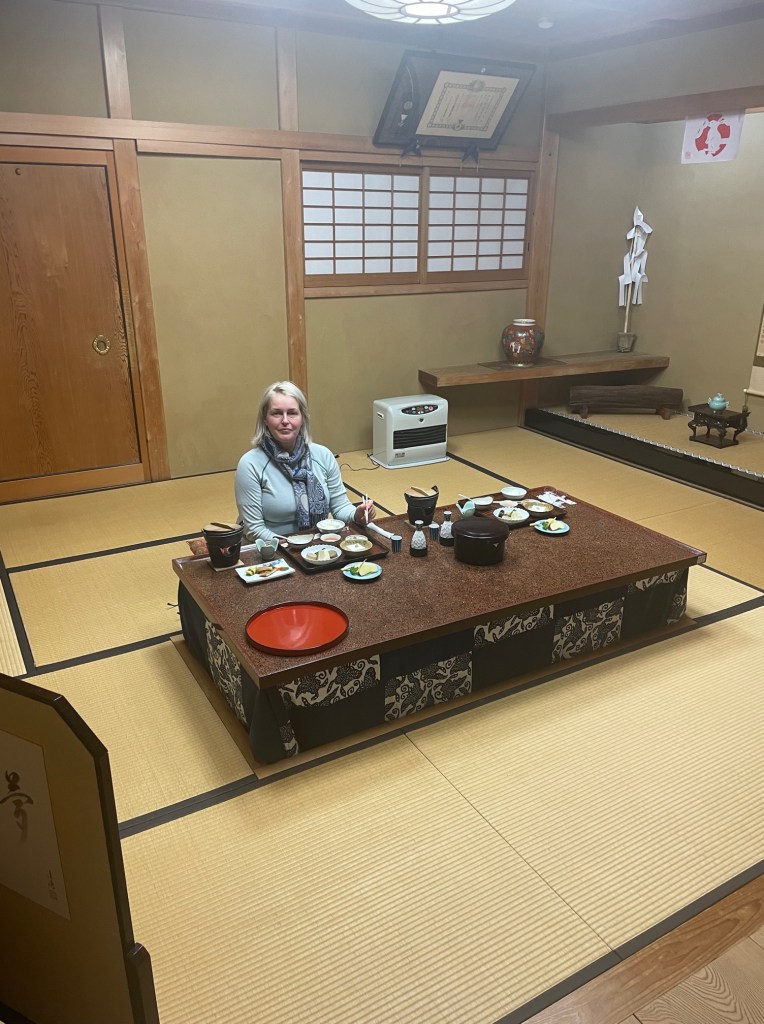
Our dinner slot was 6pm. Because we had been exploring Koyasan until quite late, we flipped things around and had dinner before the onsen. We presented ourselves at the main entry, and were ushered into a very ornate and opulent private dining room. There was a shrine in one corner, beautifully decorated sliding panels and a low dining table set for two. The only indication that we weren’t alone in the temple were the twanging American voices of a group across the hallway as they a) struggled to sit down on the floor, b) figure out the eating utensils and c) make sense of the communal bathroom facilities 🙂

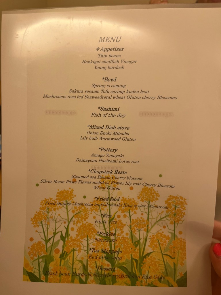
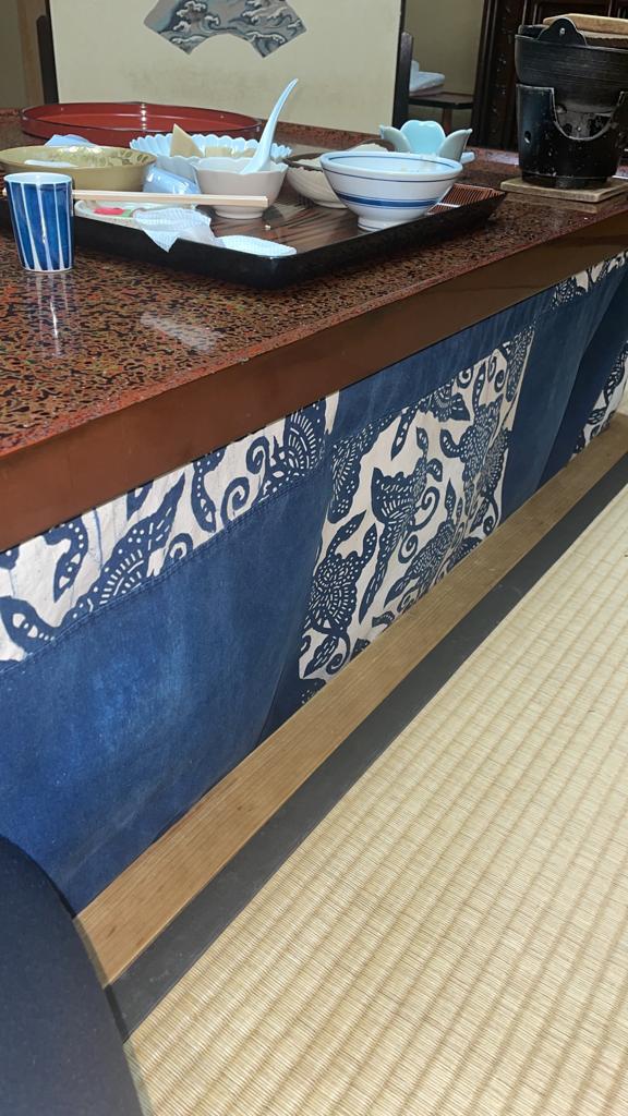
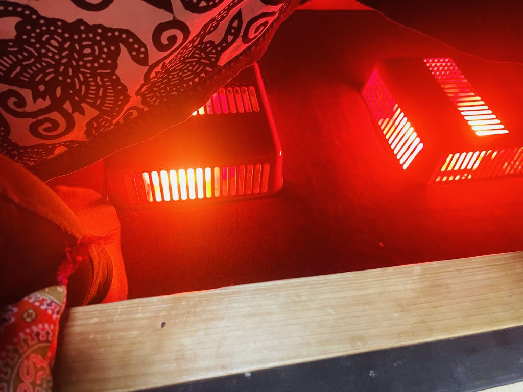
Our dining experience was a wonderful treat. Koyasan is a mountain village and was quite cold, even in late March. To counter that, we had UNDER TABLE HEATING!! Our meal was simple, but perfect. I am now an expert in how many ways tofu can be cooked and still taste lovely. All the temples are strictly vegetarian and based on what we were served, possibly plant based. We had (again) modestly priced sake and enjoyed every sip.

After our wonderful meal we went for a soak. The onsen, was very small and indoor only. It did the trick however and we were able to cleanse, bathe and soak solo. It’s not a prerequisite, but still nice to have the onsen to yourself.

Kumano Travel photo of the onsen

TIP

Most onsens are only open during the evening, not in the morning. Plan to bathe on your arrival, or after dinner. If you’re a morning bather, be prepared to adjust…or sponge bath in the loos! at Nan-In, the onsen was open from 4pm to 10pm. Look for the coloured curtains which denote gendered bathing areas – they also do swap around so always check the colours. I have no easy answer for my non-gendered readers except to follow you authentic self and enjoy your onsen experience.

Overnight, no complaints. We were warm and comfy. Except our pillows were beans. Yep, dried beans. Quite firm and small, maybe A4 size? I was clever, I ditched the pillow and went for a bundle of clothes. Worked a treat. TB persevered with her bean torture, and ended up doing emails for most of the night. Not me!

We had an invitation to attend morning prayers before breakfast. No way we were going to miss that! We almost didn’t get in as TB and I were trying to ‘pull’ a ‘slide’ door but we made it. The ceremony was very calming and beautiful to witness. I love the fact that Buddhism just assumes you’re good people, no threshold, no test, just come on in. I’m not a religious person but I appreciate anything that encourages me to stop – breathe – and centre myself.

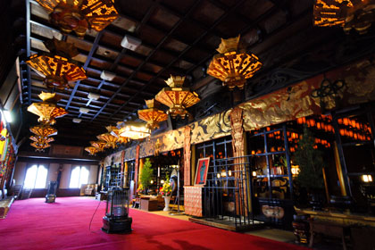
Kumano Travel photo of worship hall

Breakfast was a cut down version of dinner, again in our own dining paradise with fabulous service and food. Lots of vegetables and tofu. I was very happy 🙂

TB and I left with our souls and tummies replenished and looking forward to our final leg in Japan.

So there you have it. my list of Rating the Ryokans. There are places I wouldn’t stay at again, but I wouldn’t change a thing.

TB and I had the trip of our lives and that included all the experiences. Ichie Cafe, the hairy snoring neighbour but wonderful chiffon cake, the Hi-De-Hi camp with a magical misty outside onsen…every less than ideal stay was also a travel moment to be treasured, embraced and remembered.

Take my rankings with a grain of salt and rather than put you off, I hope these two blogs enrich your decision making process. Not one of our nights on the trail was unpleasant. Every night was an experience – with maybe a couple I don’t need to repeat!

That’s all for now, see you out on the trails

PJ 🙂

URBAN HIKING SERIES -#1 SYDNEY CBD

Hello and welcome to my LIKETHEHIKE blog. I’m PJ and I write about the hikes I take, giving you insights, photos, commentary, tips and tools so you can enjoy hiking and embrace the experience.

Let’s talk URBAN HIKING. Yep. URBAN HIKING

What is Urban Hiking?

Urban hiking is walking in a city – usually on a route you haven’t explored before – taking new paths, up hills, down stairs, through parks and reserves, following signs, seeing new things. Sounds pretty good huh?!

Urban hiking is easy to plan and execute. You can use maps, or simply start walking and see where the hike takes you. If you’re staying at a hotel, ask the front desk. Locals are very happy to point you in the right direction.

What Do You Need?

Urban hiking is a bit different to trail hiking.

  1. No Backpack. I do wear exercise tights with pockets so I can carry a mobile, glasses and ever present lip salve. If I’m feeling like a long urban hike I’ll dust off the bum bag (fanny pack). Food and water I buy as I need it.
  2. No Hiking Boots. I wear a hybrid or trail sneaker. I find that asphalt walking can be a bit harder on my knees and hips, so I like the additional padding a trail shoe provides. My latest find was at North Face, Vectiv Infinite Trail Shoes. Super padded and comfy. Another tried and true option is New Balance Fresh Foam Hierro v6. Both are great for urban hiking.
  3. Keep the Hat! I still wear a hat and sunscreen. I’m a child of the 70’s and we weren’t very sun smart back then. Skin protection is EVERYTHING. I use a full brim hat rather than a baseball cap.
  4. Time of Day. Is important for an urban hike. A city has so many personalities that change according to the time of day. I prefer early morning, but have also hiked later in the day for a change of pace. Don’t worry too much about distance, but look for interesting destinations, happenings, landmarks or people. This will create a great urban hiking experience.

Urban Hike #1 – Sydney CBD

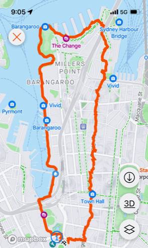
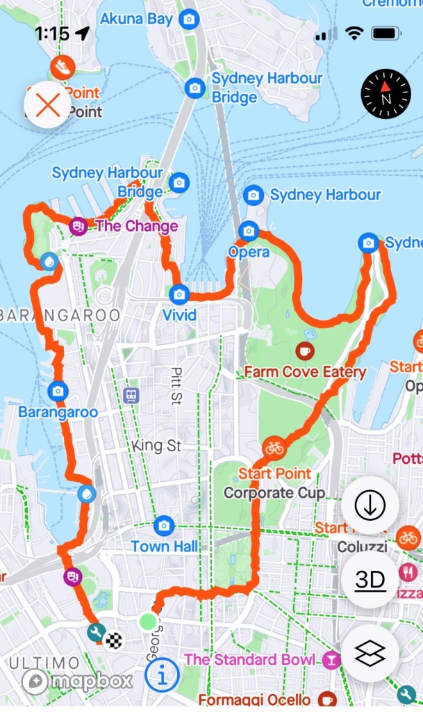
I was in Sydney for work and needed to stretch my legs. I mapped out a cheeky wee 8km urban hike which took in Darling Harbour, Barangaroo, Walsh Bay, the Harbour Bridge, The Rocks and the CBD.

Darling Harbour

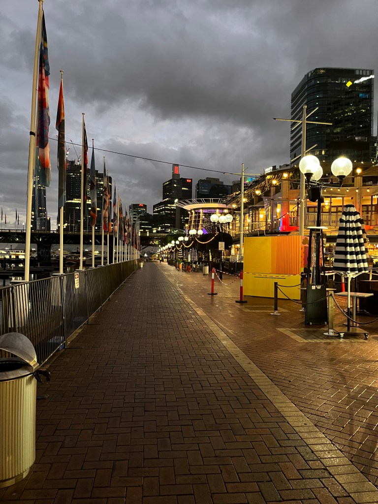
Always a favourite destination for either revitalisation or rest, Darling Harbour sits just west of the Sydney CBD. It’s home to restaurants, ships, parks, art trails, ferries, you name it. It was home to the maritime industry through the 1800’s, Sydney’s first gasworks and during the 1980’s underwent a decade long gentrification project.

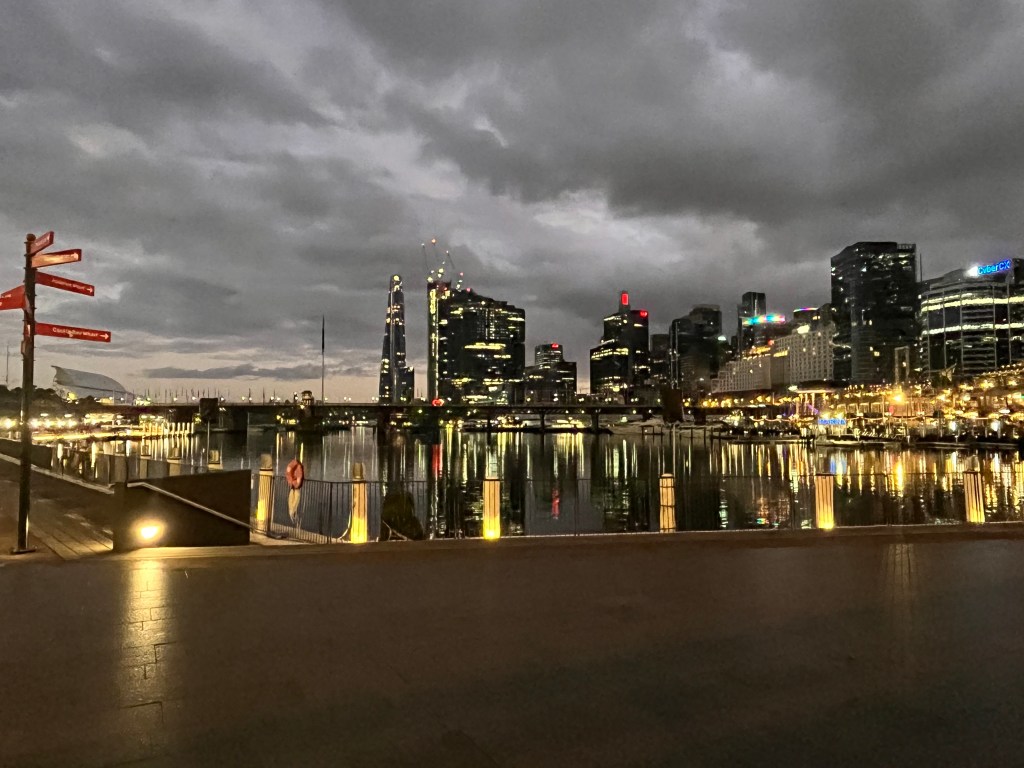
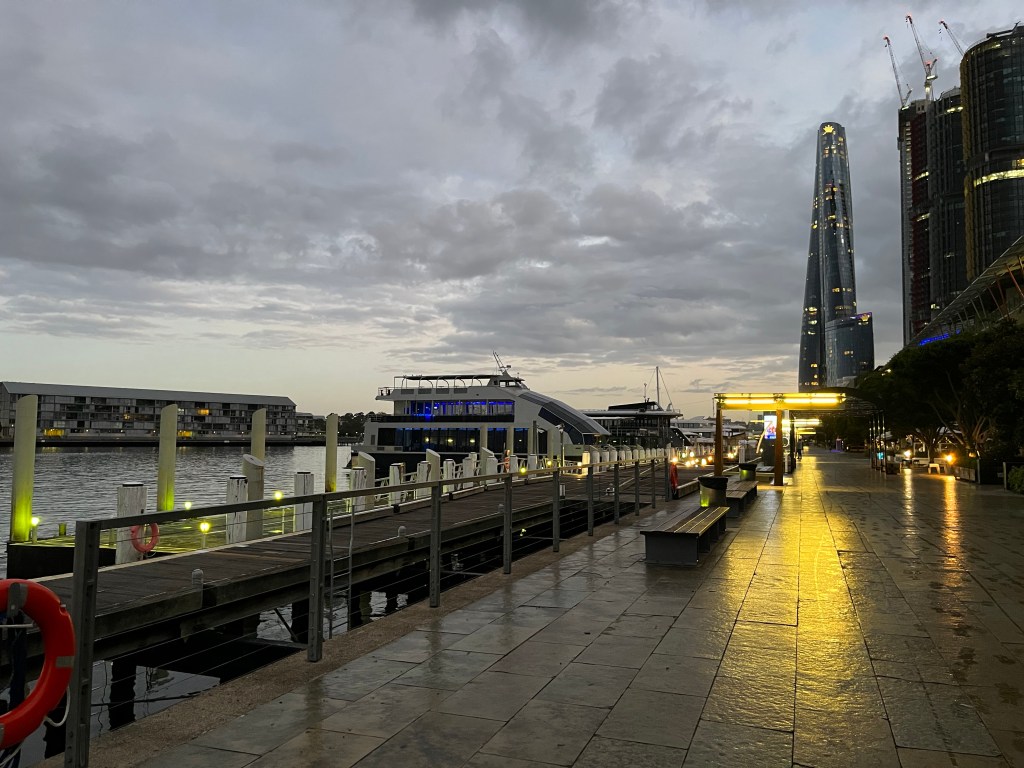
For about 3km I walked along the reclaimed wharf, past ferries and a very still harbour. At this time of morning it’s you, some keen exercisers and a whole heap of tradies coming down to work on the construction sites scattered around. It’s still a working harbour but very pedestrian friendly.

Barangaroo Reserve

Barangaroo is part of Gadigal country and is named after a powerful female Cammeraygal leader of the Eora nation. Barangaroo Reserve is a landmark waterfront destination, made up of hotels, entertainment precincts, reserves and water. It’s marked by over 75,000 native trees and bushes as well as very distinct square sandstone blocks lining the foreshore. It provides incredible views onto the harbour and passing aquatic traffic. It’s a very visually powerful space to walk though at dawn.

Millers Point, Walsh Bay, Dawes Point

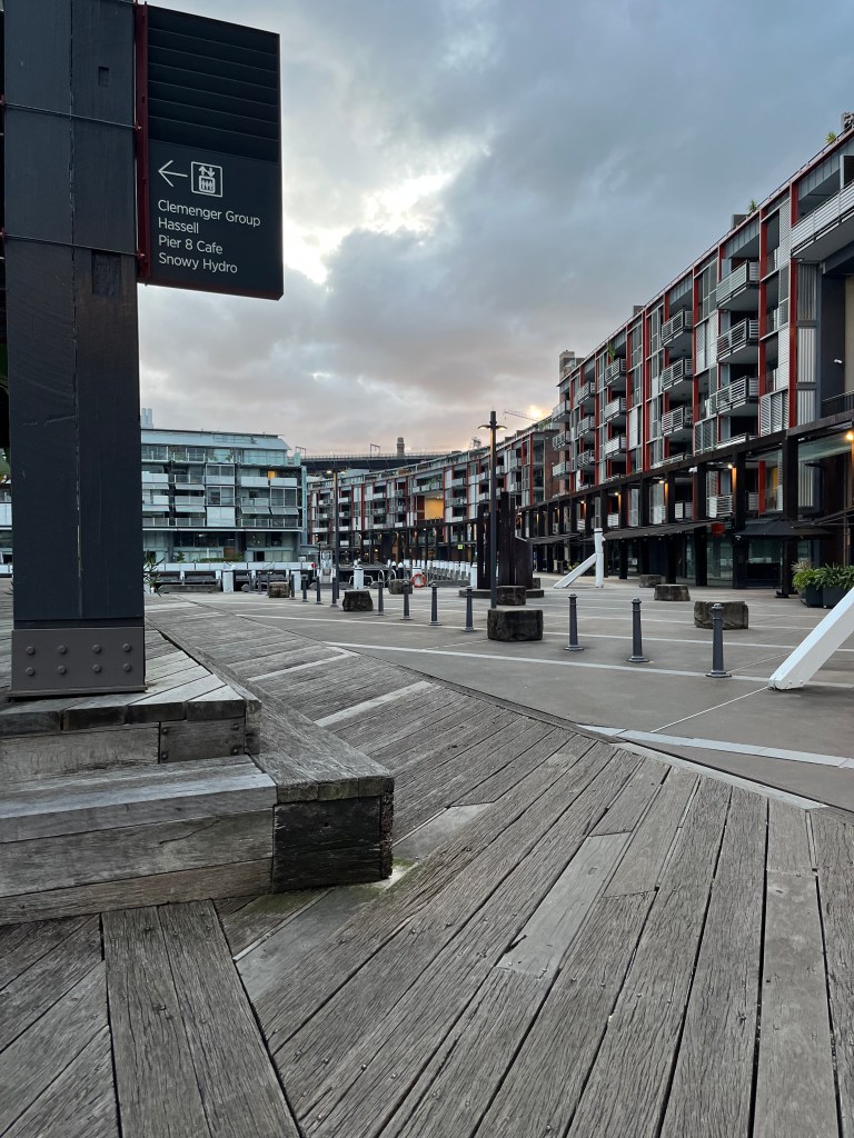
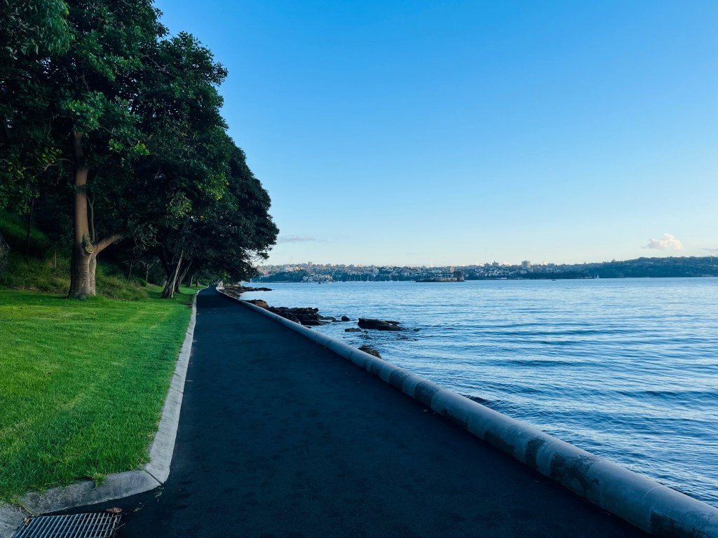
At about the 3.5km mark (just around the point you can see in the pic above), you will exit Barangaroo Reserve and enter Millers Point, then Walsh Bay. You could simply follow the road, but I try to stay away from roads wherever possible. With a little bit of trial and error, I found I could walk through the refurbished wharves in Walsh Bay, now home to cafes, residences and a cultural precinct. AND – you get to walk underneath the Sydney Harbour Bridge…!

The Rocks

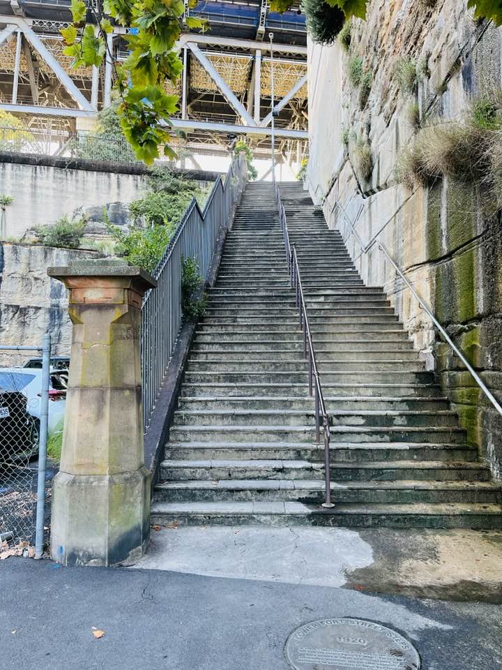
Coming out of Dawes and Walsh Bay, the vibe is very historic and utilitarian. This used to be a working area, and the streetscape reflects that. One of the fun parts of this walk is actually walking right under the Sydney Harbour Bridge!

This would have to be one of my recommended destinations in Sydney. Nestled into the side of the sandstone headland supporting the Harbour Bridge, this tiny neighbourhood is a maze of historic laneways, colonial terrace houses, old pubs and a working harbourfront, dating back to 1788.

The Rocks is also home to a passenger ship terminal, The Museum of Contemporary Art and over 50 heritage listed buildings. Your urban hike might slow down a bit as you walk through this fantastic slice of Sydney history, or might even go on pause for a quick coffee break.

George St & Sydney CBD

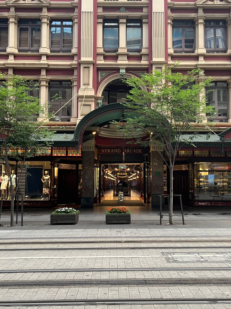
Once through The Rocks it’s a brisk troy up the middle of Sydney CBD via George St. Running for 3km from Circular Quay to Chinatown, it was Sydney’s original high street, and is still home to a number of the city’s most prestigious buildings and precincts. I walked George St around 7.30am and it was still relatively quiet, with only the first office workers trotting to work. By 11am, George St is awash with humanity. It’s mainly a pedestrian and light rail thoroughfare, so very easy to walk.

Compulsory Stop – QVB Time

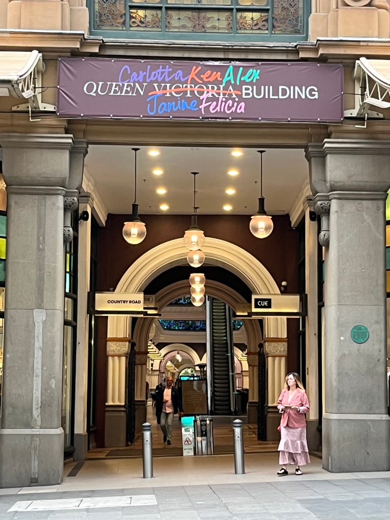
It was about 7km into my urban hike when I felt the need for sustenance. Another great destination in Sydney CBD presented itself – the Queen Victoria Building (or QVB in Aussie vernacular).

QVB is a five-level heritage listed building which is now home to premium retailers such as Bally, Camilla, Coach, Furla, Jimmy Choo, Longines, Georg Jensen, Dior – it’s a shopping destination! It’s also home to a range of eateries, and my breakfast destination.

My visit to Sydney coincided with 2023 Pride Week, so the city was packed with pride related activities, events and decorations. Hence the temporary re-naming of QVB.

Stopping somewhere on your urban hike provides two benefits:

  1. Sustenance, in both solid and liquid form; and
  2. An opportunity to people what, to get a sense of the flow in the area.

I had a quick but delicious breakfast and coffee at Manon Brassier, and watched a film crew outside the café as they hustled and bustled very busily filming an ‘as yet unnamed’ movie adjacent to the Queen Victoria statue. By now Sydney was well and truly awake with workers, shoppers, tradies and all the madness of a large CBD.

Last Leg

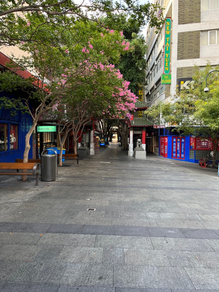
It was a final 2km up George St to Chinatown, past the Town Hall to my hotel and the start of my working day.

Sydney has a wide range of walking trails/tracks/areas for visitors to explore. I also love walking around the Opera House, the botanic gardens, the harbour, Woolloomooloo (yep, that’s a real place), the Domain, and there’s a great 10km circuit that takes in most of these places.

Take the time to explore your city – or take advantage of travel and explore a new city. You’ll be surprised at what you find.

See you next time out on the urban trails 🙂
PJ.